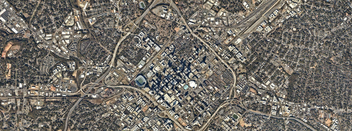
Mecklenburg County GIS Time Machine: Going Forward by Seeing Where We’ve Been

Mecklenburg County Geospatial Information Services (GIS) is starting off 2024 by reflecting on our growth and tree canopy. The Mecklenburg County GIS Time Machine is a Historical Aerial Photo Viewer that allows the user to zoom into a location of interest and view land use changes over time through the display of historical aerial photography on file. The map or application is just one of several provided by GIS. GIS oversees a variety of mapping and data resources available for residents.
“We’ve improved the performance of the GIS Time Machine. Residents can take a step back in time as we enter the new year,” said Jia Wei, GIS director.
In 2024, Mecklenburg County GIS Time Machine users will notice an upgrade. Users have two options when reviewing a location. They can use single view or split view. A user can see one location as it was in 1938 or 2023 side by side or one year at a time. The year control is a slider tool at the bottom of the screen. There are also layers for the map showing roads and the tree canopy in 2023, 2016, 2012, 2008, and 2001.
Mecklenburg County’s Tree Canopy Analysis of 2023 indicates that the tree canopy is declining, but it may not be declining as quickly as previous analyses have shown. In 2023, 50.24% of county land area is covered with tree canopy. See attached analysis for more information. An annual tree canopy analysis will be conducted, for the next four years, to further analyze tree canopy loss in the County.

